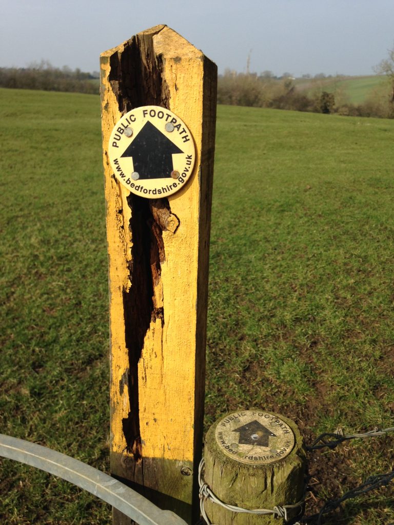
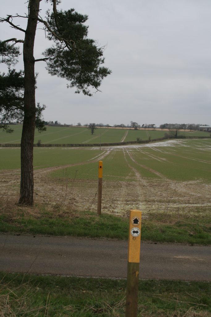
Toddington and surrounding parishes have a great network of public footpaths. Below are a series of varying distance walks from Toddington. The list is broadly in a clockwise order starting at the north of the village. A number of the adjacent circular walks can be combined into longer walks. Other walks in Bedfordshire are available from the Lets Go web site. If unsure of where to walk then suggest you start with the Crowbush walk.
Happyland Farm
5.2 miles 8.4km | 1hr 45min | stile free | Circular from Toddington | Route details | OS maps
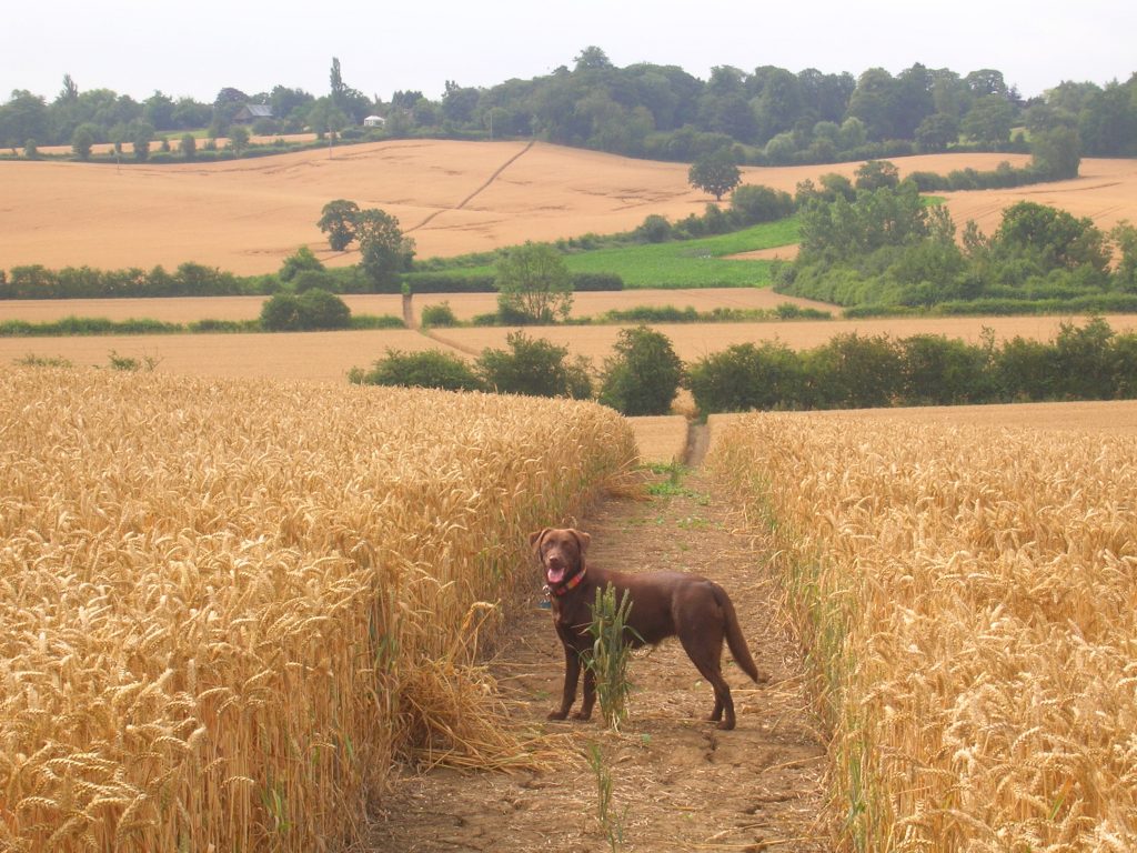
A rural circular walk using field edge and cross field paths, which are good when the ground is dry but will be harder after recent ploughing. Dogs need to be kept under close control in the few fields which contain livestock.
Monmouth Way
3.5 miles 5.6km | 1hr 15min | stile free | Linear from Toddington or Eversholt | Route details | OS maps
A linear walk from Toddington to Eversholt linking the Icknield Way long distance path with the Greensand Ridge footpath. The route is mainly over grazing fields, some hard tracks, woodland and two large arable fields. The grazing fields often contain livestock where dogs should be kept under close control. In good weather with firm ground allow over an hour and a half for the walk (one way). An article from 1997 explaining the creation of the route. The Green Man pub is in Eversholt, A brief history of the connection between the Duke of Monmouth and Toddington is described in this document.
Lodge Farm
4 miles 6.5km | 1hr 45min | stile free | Circular from Toddington | Route details (pdf) | OS maps
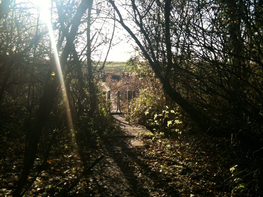
A circular walk over arable fields, of about four miles (6.5 km), starting at the war memorial on Toddington village green. Farm livestock may be in some of the fields you cross, where dogs must be kept under close control. The last remaining stiles were removed in Aug 2020. The many arable fields may be muddy in places, particularly after ploughing. Much of the walk is over land managed by Heathcote Farms Ltd who request you support their environmental work by respecting the county code. In June 2024 please be careful of broken steps when using the bridge near Lodge farm.
Harlington Wood End
4.5 miles 7km | 2hr | stile free | Circular from Toddington or Harlington Wood End | Route details | OS maps
A walk virtually all over arable fields so it is good when the ground is dry, but difficult after recent ploughing. The first half of the land is managed by Heathcote Farms who normally keep the paths clear of crops. There are four kissing gates on this route, and not normally any livestock. In good weather with firm ground allow around 2 hours for the walk. The revised junction 12 has extended the length of the underpasses, this walk gives some unusual views of the junction.
Harlington
4.75 miles 8km | 2hr | stile free | Circular from Toddington or Harlington | Route details
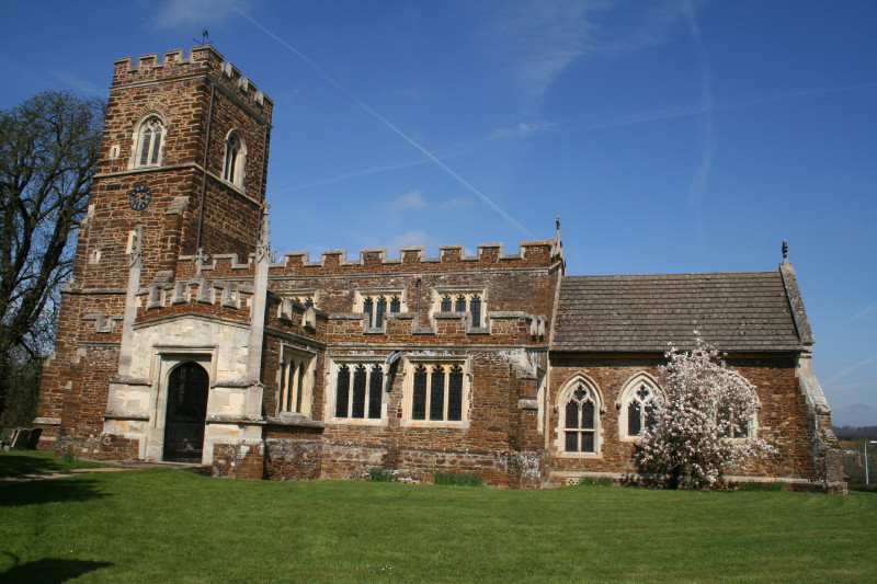
A walk largely over arable fields so it is good when the ground is dry, but difficult after recent ploughing. The first part is over land managed by Heathcote Farms who normally keep the paths clear of crops. The route is stile free with some 16 gates and may have some fields with sheep or horses grazing. In good weather with firm ground allow about 2 hours for the walk. The revised junction 12 has extended the length of the underpasses, this walk gives some unusual views of the junction. A short extension into Harlington village will find the Carpenters Arms pub.
Around the Services
4.75 miles 8km | 2hr | stile free | Circular from Toddington or Harlington | Route details
A walk largely over arable with some grazing fields so it is good when the ground is dry, but can be difficult after recent ploughing. Much of the land is managed by Heathcote Farms who normally keep the paths clear of crops. The route is stile free with twelve gates on this route, some fields may have grazing horses or sheep. In good weather with firm ground allow over 2 hours for the walk.
Icknield Way – Sundon Hills
7.2 miles 11.6km | 2hr 30min | stile free | Circular from Toddington or Sundon | Route details
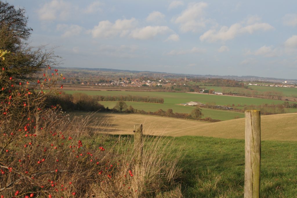
Extensive views across Bedfordshire on a stile free rural circular walk following the Icknield Way path. This diverse route crosses an Chiltern’s ANOB, the M1 and the midland mainline railway. This walk and the 4.3 mile Sharpenhoe – Sundon Hills walk can be linked to make a longer circular walk.
Cowbridge
3.5 miles 6km (with short cut about. 2 miles)| 1hr 45min | stile free | Circular from Toddington | Route details
A pleasant circular walk starting on Toddington village green. In the spring/summer there are cattle in the field from Fancott bridleway towards Toddington, so take care, although the route & fencing have been changed to keep livestock & people apart. The full distance is approximately three and a half miles (6km); or you can take a short cut (on map: A to B), making the walk about two miles (3km). The route passes a footpath access to the Fancott Wood and Meadow which can add a further one mile loop. Passes near the Fancott pub. Allan Portas has provided more information on the countryside around Cowbridge.
Chalton
5 miles 8km | 2hr | stile free | Circular from Toddington or Chalton | Route details
A circular walk, starting by the old pump on Toddington village green. Alternatively, start outside the Star public house in Chalton. In spring 2019 an impassable section has been reopened by volunteer effort. The route links with the Fancott Wood and Meadow where an additional mile loop can be added. Also passes near the Fancott pub.
Crowbush
2 miles 3km | 1hr | stile free | Circular from Toddington | Route details
A pleasant circular walk of approximately two miles (3km) suitable for all the family. The first part of the walk follows the Icknield Way passing through an ancient pattern of fields and hedgerows. Virtually all the walk is on grass.
Chalgrave Heritage Trail
8 miles 13km | 4hr 30min | multiple stiles | Circular from Toddington, Tebworth or Wingfield | Route details
The Chalgrave Heritage Trail is a circular walk that uses footpaths and bridleways, plus one permissive path. It can be walked in its entirety or in sections using other footpaths to return to your starting point. The trail takes about four to five hours to walk in its entirety, and along the way there are five noticeboards providing information about the landscape, wildlife and buildings of interest. Passes the Plough Inn at Wingfield and Queens Head in Tebworth.